38 km | 47 km-effort
Cevennes avec anes 3/6
peterschelfaut
Gebruiker
Lengte
17,4 km
Max. hoogte
1609 m
Positief hoogteverschil
223 m
Km-Effort
21 km
Min. hoogte
1326 m
Negatief hoogteverschil
435 m
Boucle
Neen
Datum van aanmaak :
2014-12-10 00:00:00.0
Laatste wijziging :
2014-12-10 00:00:00.0
4h29
Moeilijkheid : Medium
Gratisgps-wandelapplicatie
Over ons
Tocht Stappen van 17,4 km beschikbaar op Occitanië, Lozère, Pont de Montvert - Sud Mont Lozère. Deze tocht wordt voorgesteld door peterschelfaut.
Beschrijving
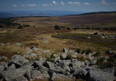
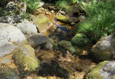
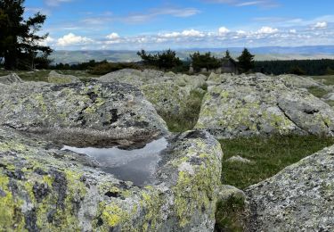
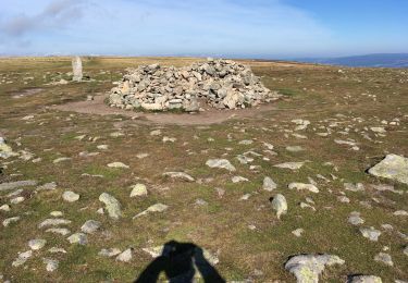
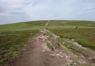
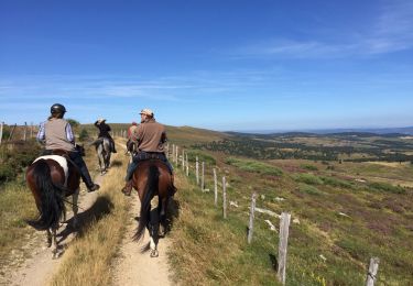
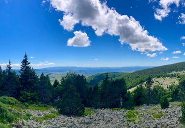
Belle étape relaxe jusqu'un point superbe pour faire un bivouac: 'le pont du Tarn'
Plaatsbepaling
Land:
France
Regio :
Occitanië
Departement/Provincie :
Lozère
Gemeente :
Pont de Montvert - Sud Mont Lozère
Locatie:
Fraissinet-de-Lozère
Vertrek:(Dec)
Vertrek:(UTM)
556679 ; 4919428 (31T) N.
Opmerkingen
Wandeltochten in de omgeving
Finiels/ sommet / station du Bleymard en boucle
Stappen
Moeilijk
Pont de Montvert - Sud Mont Lozère,
Occitanië,
Lozère,
France
20 km | 30 km-effort
5h 38min
Ja
sources du tarn
Stappen
Medium
(1)
Mont Lozère et Goulet,
Occitanië,
Lozère,
France
13,3 km | 17,3 km-effort
3h 50min
Neen
ETANG DE BARANDON PAR LA STATION DE SKI
Elektrische fiets
Medium
Cubières,
Occitanië,
Lozère,
France
31 km | 36 km-effort
2h 11min
Ja
chemin de Malevrère
Te voet
Gemakkelijk
Pont de Montvert - Sud Mont Lozère,
Occitanië,
Lozère,
France
3,1 km | 4,4 km-effort
1h 0min
Neen
Le Finiels
Stappen
Moeilijk
Mont Lozère et Goulet,
Occitanië,
Lozère,
France
9 km | 12,3 km-effort
2h 33min
Ja
210617 - Mont Lozère
Stappen
Gemakkelijk
Mont Lozère et Goulet,
Occitanië,
Lozère,
France
7,1 km | 9,3 km-effort
1h 22min
Ja
Le Chalet du Mont Lozère - Auriac
Paard
Medium
Mont Lozère et Goulet,
Occitanië,
Lozère,
France
24 km | 30 km-effort
4h 49min
Neen
mt de finiels
Stappen
Gemakkelijk
Mont Lozère et Goulet,
Occitanië,
Lozère,
France
7,2 km | 9,4 km-effort
2h 6min
Ja